Climate Camp Ride
I decided to ride my bike to the 2nd annual climate camp in Australia. It was held in Helensburgh, midway between Sydney and Wollongong (NSW, Australia). I had not been out for any decent ride in a while, nor had I been camping of late. I decided to ride from Campbelltown in Sydney’s south-west, enabling me to ride part way through Dharawal State Conservation Area (SCA). Being my first significant ride in some time, the unseasonable weather and predicted headwinds, I had an idea that it would be a little challenging.
I had planned to leave on the Friday afternoon, though the constant threat of rain ended up preventing this. I was somewhat thankful given the strong winds and rain that continued overnight. I set out a little before 8 am, thinking the ride would take between 2 and three hours. My pace was cruisy, the headwind not strong, though consistent.I have ridden the first two-thirds of the road route several times, though never with my trailer fully loaded.
I have also utlised a number of the management trails in the SCA many times, though had never ventured down the route I planned to take today. I have enjoyed riding through the SCA, and a side benefit of the route would be to cut out about 15 km+ along a busy road section, one frequented by coal trucks.
A little shy of 20km in I decided to take a picture looking west, capturing the rural landscape 5km outside of Appin and looking west towards the Blue Mountains Plateau. I snapped the pic from the Hamilton Hume memorial.
I pushed on through Appin, turning right along Appin Road, to the turn-off of the #10 management trail. This would be my first time on the 10. I have ridden the Wedderburn Road/Wedderburn/Lysaghts management trail, the 10B and the 10D previously (the latter one, being challenging both for condition and topography). I would also like to ride the 10B/10C/10H route to Darkes Forest Road, though felt my fitness was not up to it this time round (see map).
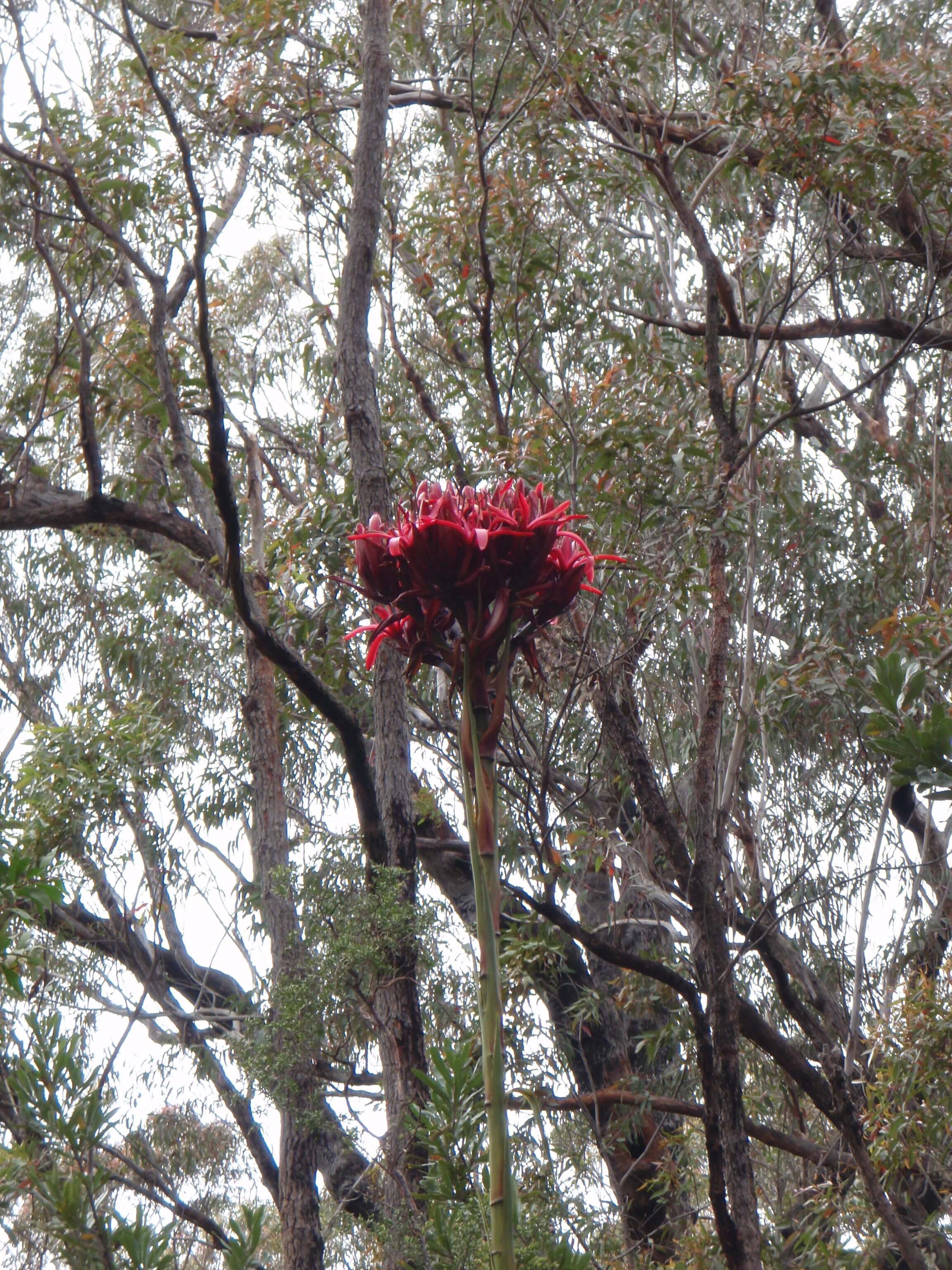
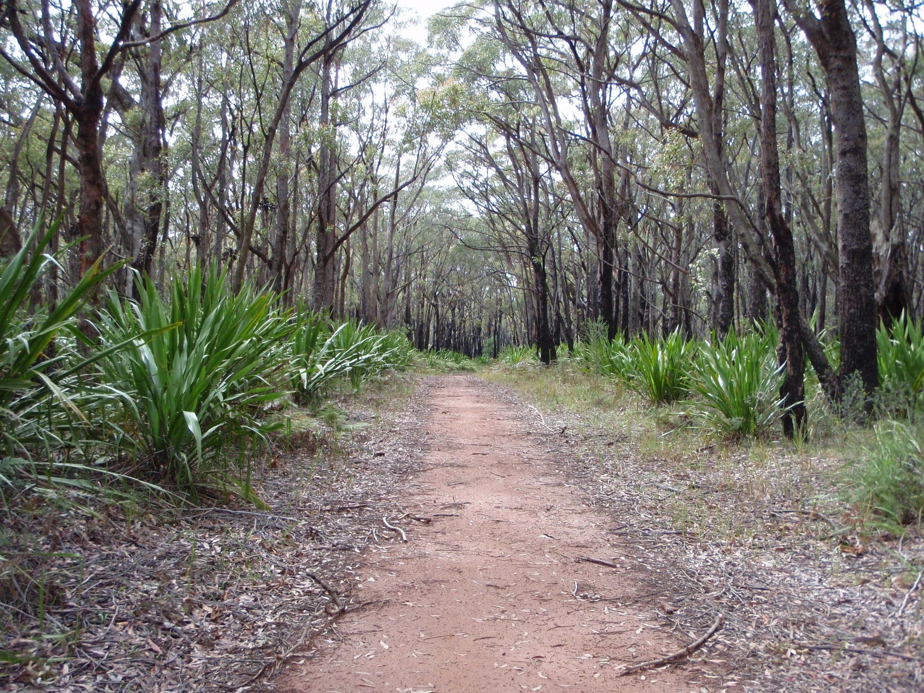
Up until reaching the trail turn-off, I was struggling with the headwind, the stress of coal trucks and cars passing within inches at speeds in excess of 100km. The dramatics shift in how I felt on entering the trail was somewhat astounding. My stress levels dissipated almost immediately. The tranquillity, lack of vehicle noise, and dramatic change in scenery from blacktop to soil and rock was what I was after. I lost any desire to check my speed, to think about how long the journey would take or what time I would arrive (I was meeting a friend). I began to enjoy the journey itself.
I enjoyed the ride along the 10 trail, coming to realise on the return trip that this was partly because it was predominately downgrade. I came to a junction, with the 10A trail of to the right — the google maps sat photo’s and data indicated that I should follow the 10A (I did not have a copy with me), so I turned right. At this junction, the sign also indicated that bikes were not permitted on the 10. The sign at the trail head did not. I decided to follow the 10A sign, soon after realising it was not the correct trail and that it passed through the restricted/water catchment area with an $11 000 fine for entry (not sign posted at the trail head.
Having proceeded more than half-way down the 10A before noting a restricted area sign, I pushed on to the junction with Darkes Forest Road, some 7.5 km from Appin Road. There were no means to get a bike through the locked gate, with heavy cement blocks and steel cables severely restricting access. I ended up in-hitching my trailer and lifting over the blocks/cables. From Darkes Forest Road, it was a short 8 km along the old Princes Highway to the camp site at Helensburgh.
On the return leg, I travelled further west along Darkes Forest Road, seeking to find to junction with the 10 management trail (2.5 km in). The entrance sign did not indicate cycling was prohibited, and I pushed on through the gate. Crossing Maddens creek was followed by another gate, that was difficult to pass with a trailer. From there it was 2 km to the 10A junction that I had turned onto on my ride towards Helensburgh. It was from here that I noted to return leg back to Appin Rd was predominately an upgrade.
From Darkes Forest Rd to Appin Road, the 10 management trail was approximately 5.5km. I had road tires on, and whilst I would not necessarily recommend them, you can ride this trail without dirt tires.
It was a further 30km to my designation, back along the same (road) route as my outbound trip. I do plan to ride the 10B/10C/10H route from Wedderburn Rd to Darkes Forest Road in the future — with dirt tires and no trailer. The creek crossing and rise out at Stoke’s creek is quite seep. I would also like to ride the Old Coach Road from Freres Crossing, Kentlyn, though it is a restricted area/live firing range and part of the Holsworthy military area...