I went for another ride out into the Dharawal State Conservtion Area (SCA) today. I had previously ridden the old Weddernurn/Minerva/Lysaght Road route (the latter runs along the edge of the SCA) a number of times and had recently picked up a National Parks and Wildlife Service trail map listing major trails on which riding is permitted. This was my second trip into the SCA itself, though this time I stuck to the 10B ‘management’ trail and also rode it in the opposite direction.
On this ride, I started near the Busway’s depot (off George’s River Rd, Campbelltown) on trails to the north side of Wedderburn Gorge (4 km), then followed the Weddernburn, Minerva and Lysaght Roads through the gates at each side of the airport (13 km, 15 km) and past the West Cliff Colliery (another gate) to Appin Road (22 km). Like my previous ride, I came across some yellow-tailed black cockatoos—I only heard them this time. On the trailed behind Lynwood Park I have regularly seen flocks of more than a dozen together—they are majestic birds!
I turned left onto Appin Road and headed south-east. I turned left onto the 10B trail (27 km) and headed back north.
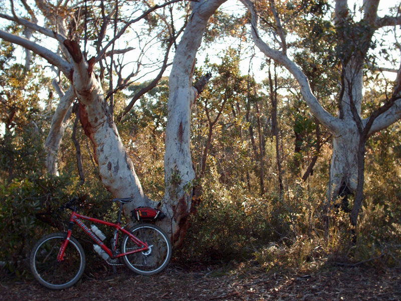
Despite the chill, it was a good ride along this trail and I had a moment with a Wallaby— about 500m before the gate at the 10C trail turn-off (31km). The wallaby watched me long enough to get my camera out, though not long enough for a photo, so I snapped a pic of some trees (my bike in the left foreground) and a waratah (no flower).
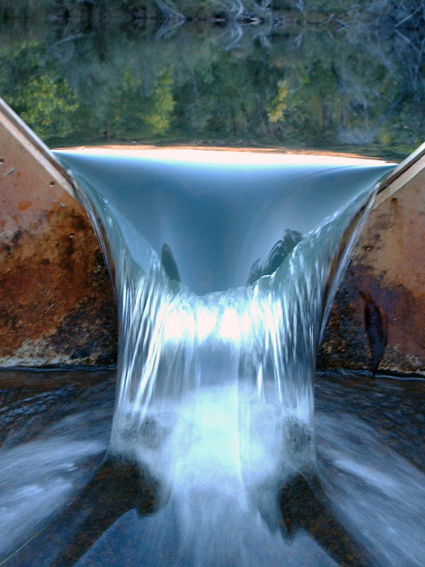
I got a flat (a new tube) and enjoyed the short break aside from the chill and fading sun (37.5 km). I took a quick photo break at the O’Hares Creek crossing, which is a really nice spot. The decent to the crossing, from the Appin side, is one of the steepest I have ridden (see below). It was obvious that a few people had visited the crossing since the week before: some had left water bottles. I find this more than a little inconsiderate given the area’s significance ecologically—the O’Hare’s Creek Shale Forest is an endangered ecological community and the waterways in the O'Hare’s Creek catchment are protected under the Protection of the Environment (Operations) Act 1997.
After the climb out from the O’Hares Creek crossing (sandy and soft, though not as steep as the Appin side), I passed the gate at Victoria Road (41.5km) then rejoined Minerva Road. I really enjoyed the ride—trying to get some fitness back and prepare to my trans-Canada ride, and escaping the last minute planning (i.e. Packing, sorting affairs) before I leave. It was chill for the 12 km ride back to where I started
On my ride into the SCA the week before I had entered to 10B trail from Victoria Rd. I got a flat just as I reached the gate on the Wedderburn side of the O’Hares Creek crossing. A nice place to have to fix it! I was not prepared for the climb out the other side, however. It might be the steepest trail I have ridden. At the steepest section I lost traction and was unable to eject from my peddles before sliding backwards and toppling over!
After the climb out, I turned off the 10B onto the 10D trail (about 4 km from the trail head), which re-joins the 10B trail. It only added some ~5 km to the ride, though it took a lot out of me. The decent down to, and view from, the Cobbong Creek crossing was pretty impressive, though it is not one I will probably see for some time. The trail would be a very big ask for most 4WDs and the condition made the very long climb out too much of a challenge for me at times. It was hard work. About 1km before the 10D re-joined to 10B I came across a site I had never seen in Australia: what appeared to be an inuksuk (I had hoped to take a pic of this on my most recent ride, though the falling temperature prevented that)!
I hit Appin Rd (30km) and decided to ride back along the road, rather than the old Weddernburn, Minerva and Lysaght Roads route. This was partly due to fatigue and that I had inadvertently forgotten my water bottles—drinking from O’Hare’s and Cobbong Creeks was pleasant (out of a muesli bar wrapper), though not sustaining. I picked up a sport drink at Appin before the ride amongst the traffic back to my starting point (approx. 60km).
I have decided that I will most likely not ride the old Weddernburn, Minerva and Lysaght Roads route in its entirety again. It is not very pleasant and most of the vegetation is suffering from exposure coal dust. This does not take away form the 10B trail, however…