I arose a little before 5am — after a very broken, sticky sleep. After packing my gear, l departed a little before 5:30, deciding to give the NY State bike route (i.e. road riding) another attempt. I headed south to bike route 5/highway 31A. I followed this to Spencerport before detouring a little south, then east following route markers and trying to avoid Rochester. I ended up on highway 252A/252 and followed this through to Pittsford.
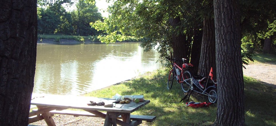
I changed to highway 96, heading southeast, and stopping for breakfast around 9am (3 hours, 70km) on the south side of the Erie Canal. It was a nice post to have a short rest and some welcome food in the company of some local ducks.
Given my long ride of the previous day — finding myself some 80km further into the ride than planned and only 20km or short of one potential campsite for the second night second, I decided to ride on and see how the days riding was to pan out. Energised after a good breakfast I found myself even further ahead of where I anticipated I would be, passing though Victor, Manchester and Phelps in quick succession.
After a quick stop in Phelps for water, I arrived at Waterloo feeling quite good. I dropped into the local library — just east of the main road on the northern edge of the CBD — and sent a few emails/messages to people advising that I was going to push on for Watkins Glen and might meet them there later in the evening. I left Waterloo at 2pm and began to take it a little easier knowing that I still had significant distance to cover. I continued south on highway 96, stopping at Ovid at 5:30pm for more water and a failed attempt to use a pay phone. I turned off onto highway 414 for the final leg overlooking Seneca Lake.
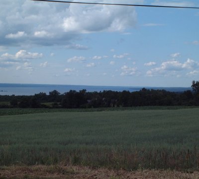
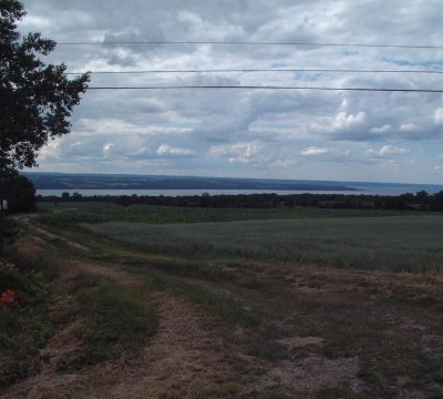
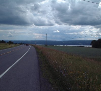
It was quite scenic. It was also quite undulating even though it appeared that it would be an effectively downhill coast.
The final descent into Watkins Glen was quite steep, and I clocked out at a little over 60km/hr — my main thoughts were that I would be riding back up this the following afternoon on the trip to Ithaca!
At 6pm (198km) I dropped into the local health food store/cooperative to ask for directions to Farm Sanctuary (my destination) and what the climb on the western side of Seneca Lake was like. I was advised that I only had to climb half way up the hill. Given the descent, whilst step, was not more than 2-3 km, I though I could deal with this.
As I pushed up this hill, both sweating profusely and finding it my most challenging climb, I came to the required turnoff. This was the end of the climb indicated by the store worker. As I turned the corner, what caught my eye was not the spectacular view back down into Watkins Glen and the southern aspect of Lake Seneca...
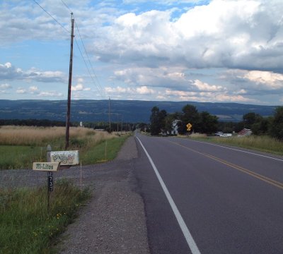
All I could focus on was a straight section of road as far as the eye could see — and it was a constant and significant incline. Still managing not to drop into the granny gear (bottom front chainwheel), I pushed on for another 6 km. Having reached what appeared to be a plateau, I stopped for refreshments, a short rest and a quick snack. I also took in the spectacular view.
After the short rest, I climbed back into the saddle, As I turned the corner I was greeted by something I was very much hoping not to see — more climbing! This continued, with some undulations for another 12km. Feeling very fatigued I crested the last climb and, very relived at the site of it, noticed the turn-off to Farm Sanctuary.
I arrived at my destination at 7:30pm having travelled some 217km. I slept quite well that night!
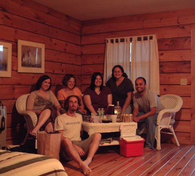
[It turned out who I was meeting had passed me in a car, heading into Watkins Glen for dinner, whilst I was struggling with the climb. They had not received my message that I was coming — thinking as previously indicated that I was arriving the following day — and only gave passing thought to the possibility that it was me.]
